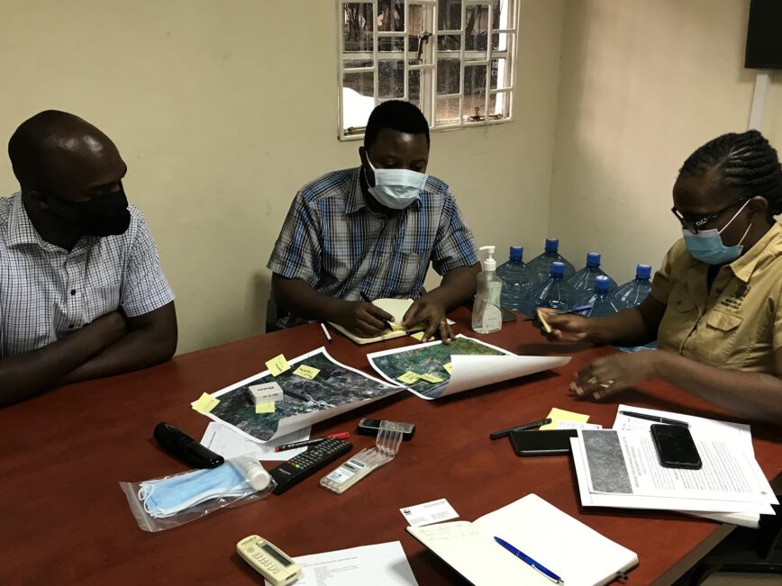
In less than a decade, the use of drones to collect aerial imagery has shifted from the cutting-edge to a mainstream tool in research. Yet surprisingly, little is known about how different people around the world interpret pictures taken by drones in different contexts.
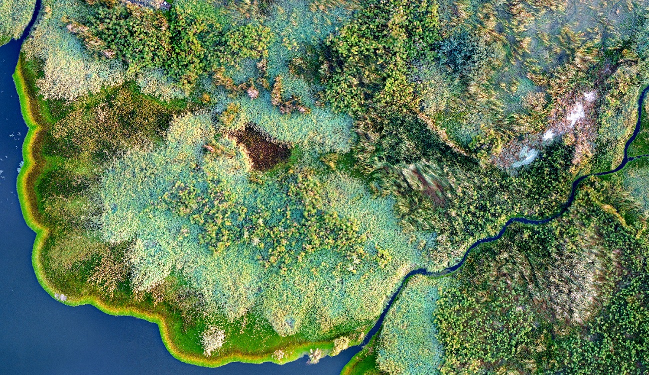
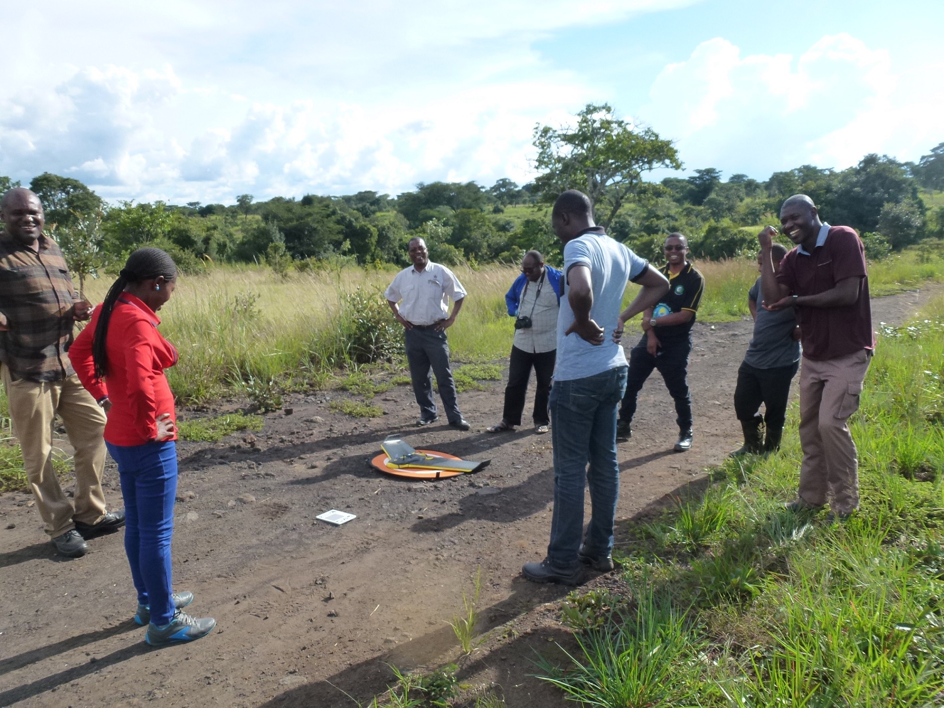
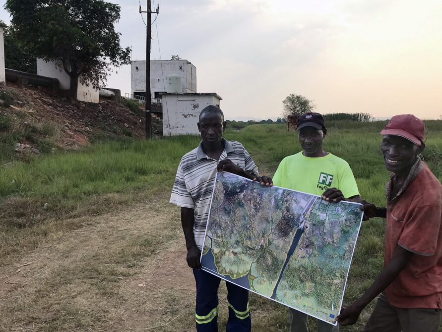
As part of the ETH Zurich-led DAFNE project, funded by the EU’s horizon 2020 program, and in collaboration with University of Zambia (UNZA), we had the pleasure and the privilege of collecting aerial imagery from a wide range of Zambian landscapes. The overall goal of the project was to build a decision-analytic framework to facilitate negotiations between water resource users within the water-energy-food-ecosystems-nexus. One of the many aspects of this was to use drone imagery to better understand water quality issues related to agricultural intensification and hydropower dams, for example manifested through mass-invasions of floating water hyacinths. Supported by Simon Spratley, a professional drone pilot and in tandem with a group of UNZA students, we travelled across the country and collected a diverse range of imagery for their MSc and PhD theses, as well as other research. The outcomes were pictures of surprising beauty, showing stunning bird’s-eye-views of highly diverse wetlands, rivers and agricultural landscapes. These images featured in our papers and project videos, some even making it to the Biennale in Milano, and exhibited as artwork. Yet, due to the COVID-pandemic, the DAFNE project had to end without us being able to physically share the images with stakeholders in Zambia, and ask them in person how they perceived them.


